Height Maps
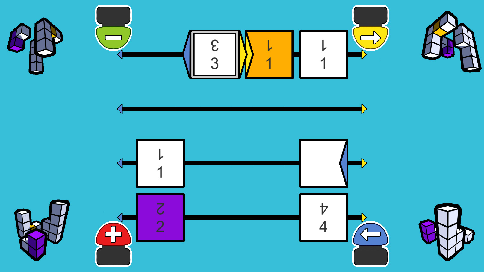
In "Hoogtekaarten" (height maps), children will collaborate to fill in a height map of a simple block building. Each of them can properly see one view angle of the block building, and they have to communicate what they see to each other and visualise the entire building to be able to correctly fill in the height map. This game was designed for kids who are around 9 years old.


